Create a hunt
Build roads, stages and clues from the course page.
Create outdoor, indoor or virtual-map adventures in Moodle. Build routes, write clues, discover places with GPS or QR codes and follow every team’s progress.
Treasure Hunt is a Moodle activity for location-based learning. Teachers design roads and stages; learners find places, solve questions and make progress on a real or virtual map.
Use GPS outdoors, place a marker on the map from a desk, or scan QR codes where positioning is difficult.
Clues, optional questions and Moodle activity restrictions connect discovery with course content.
Play individually or in teams, choose grading rules and review progress in the teacher dashboard.
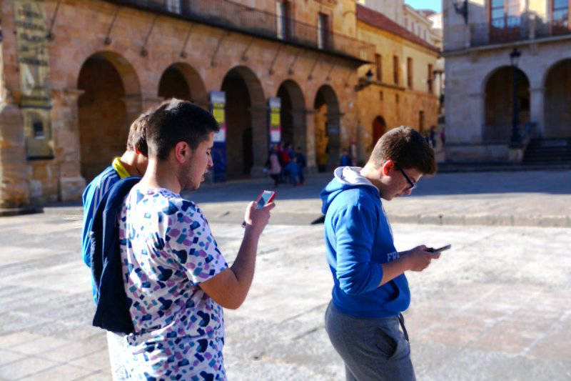
Create paths and stages in the geographic editor, draw areas or points, set discovery rules and preview each road before students play.
The OpenData assistant searches georeferenced public records in the visible map area. Browse categories and providers, inspect descriptions, images and links, then add discoveries to a local layer. A useful place can become a stage with editable source information.
Search Wikidata and DBpedia; Europeana is available when its API key is configured.
Explore the OpenData tutorial →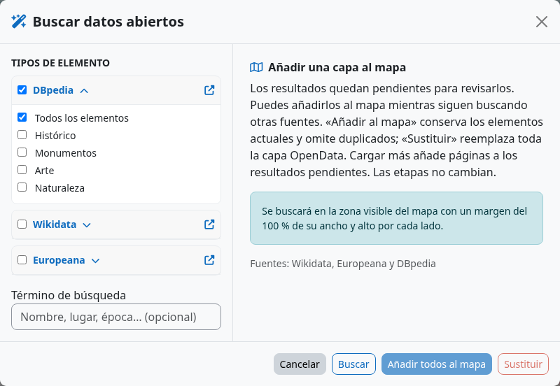
Fly between places, explore terrain and follow an animated 3D Pegman. The Cessium / Cesium 3D viewer is an experimental alternative to the standard browser player. Mapbox is another optional experimental map viewer.
Compare the players →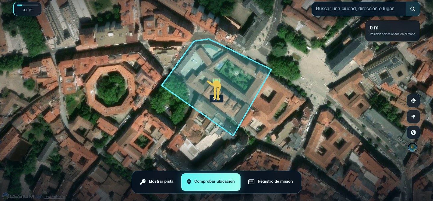
Follow the workflow step by step, then share the student guide before the first hunt.
Install the Moodle activity, create a path and test it with a teacher preview. Learners can then use the browser player without installing a separate native application.
Installation guide →